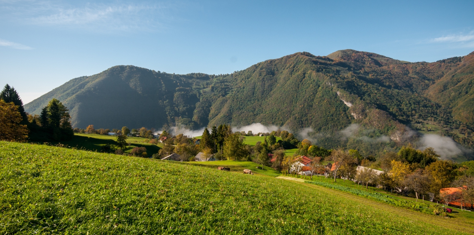
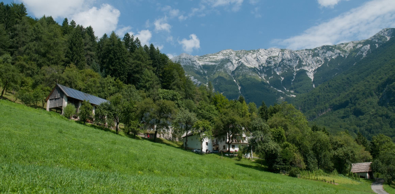
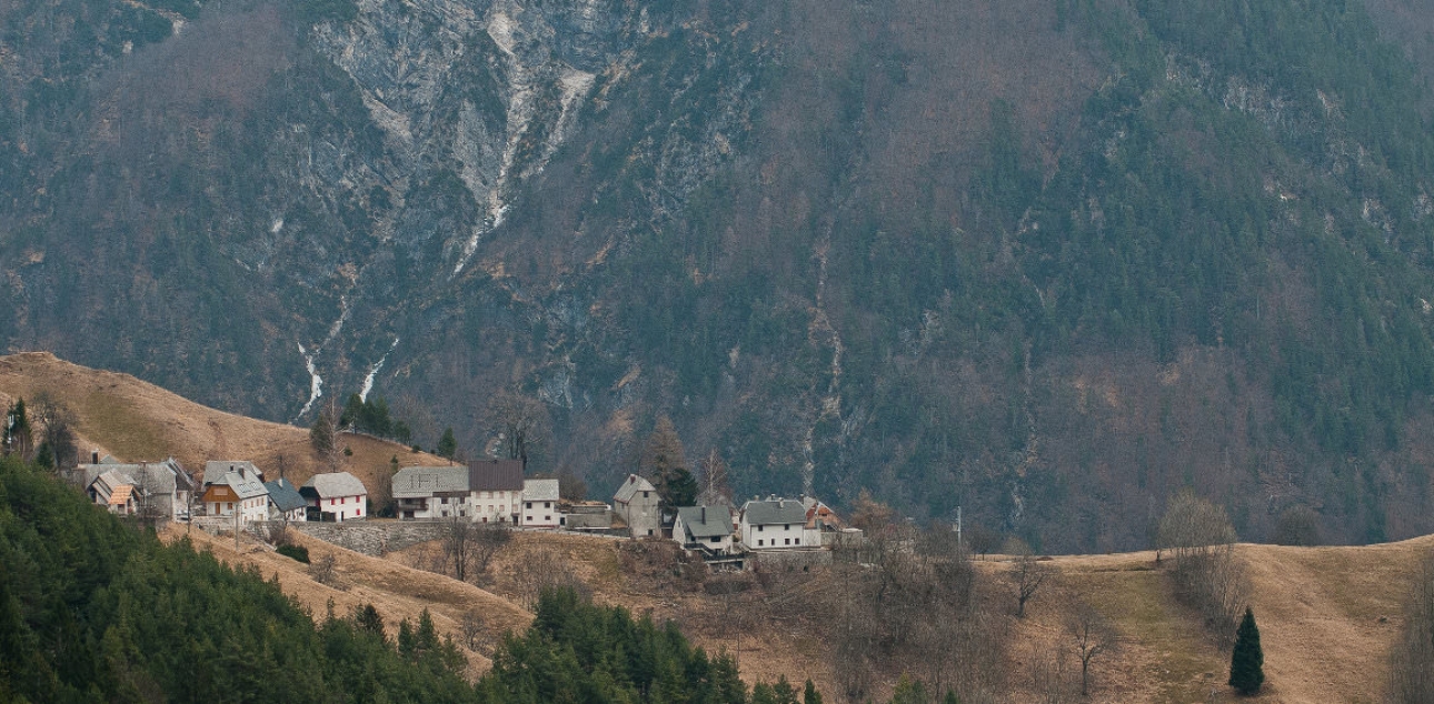
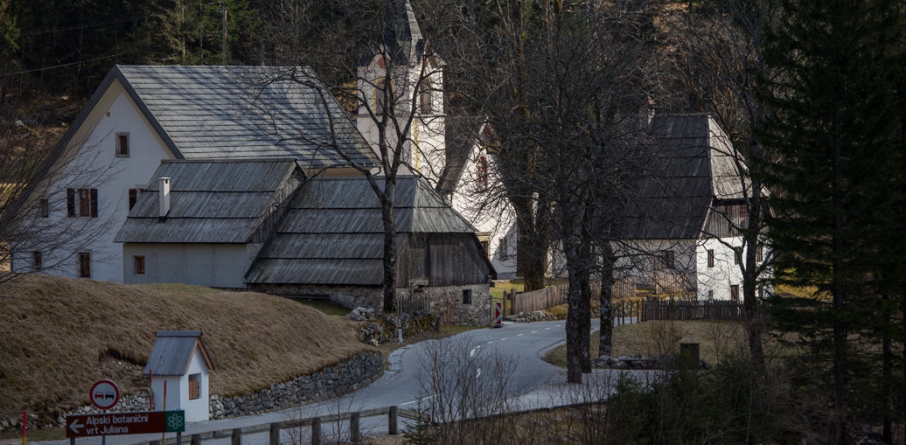
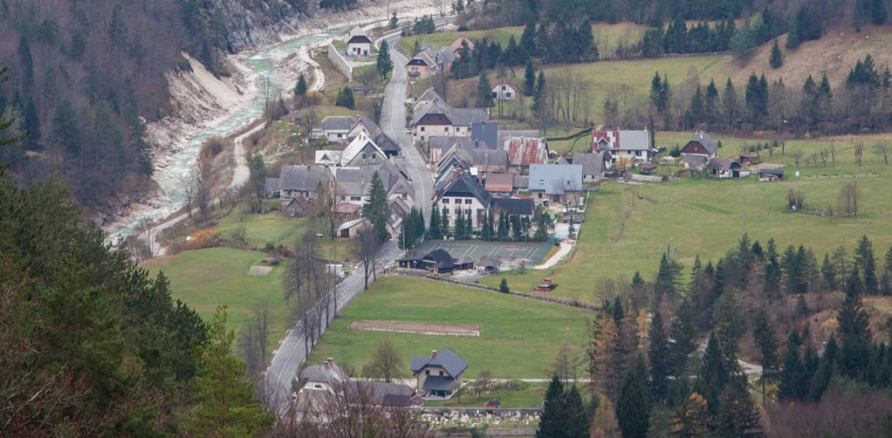
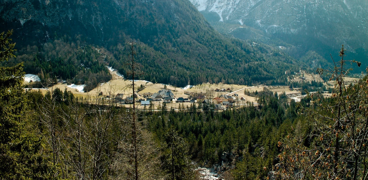
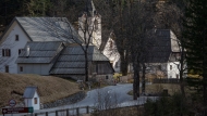
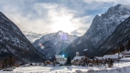
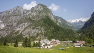
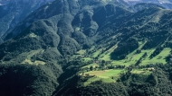
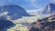
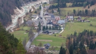
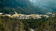
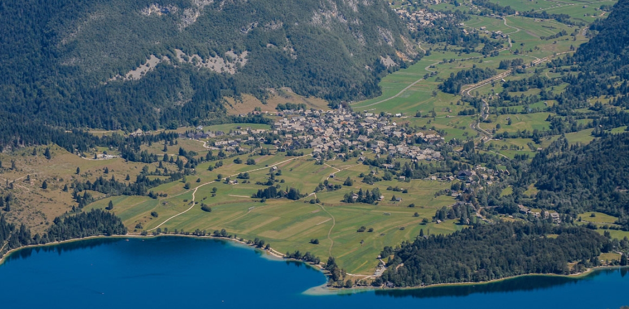
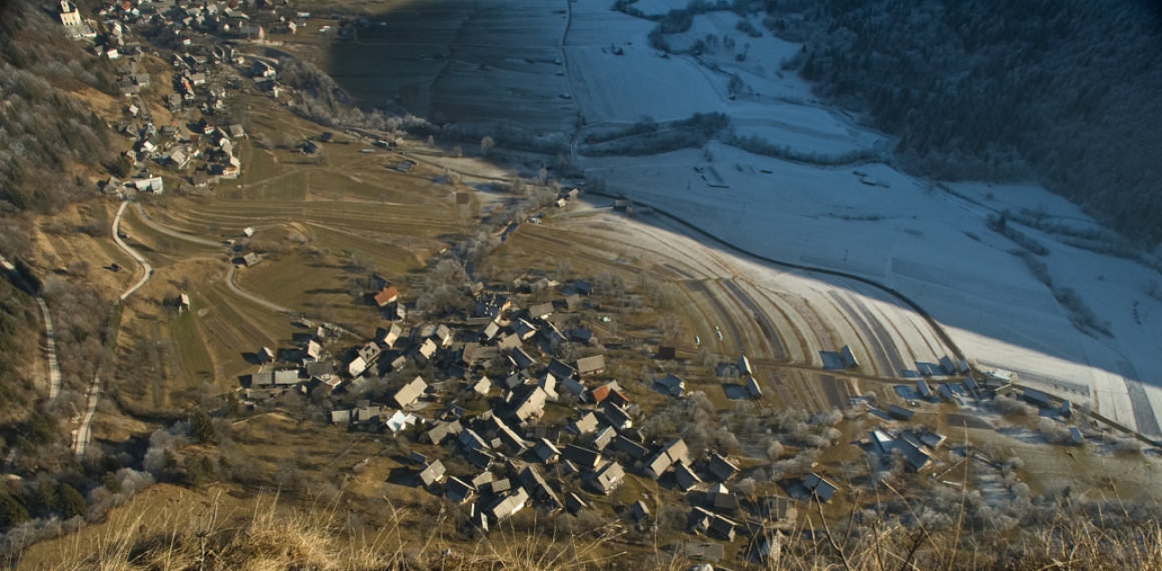
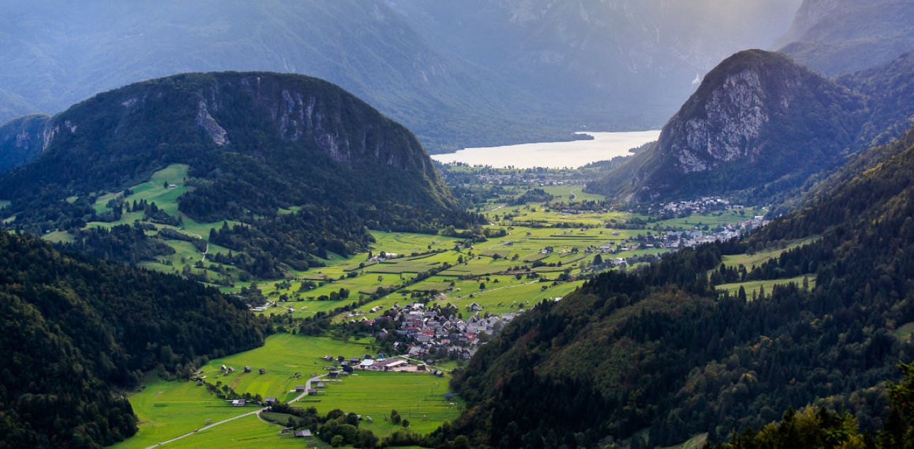
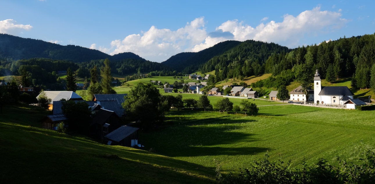
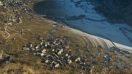
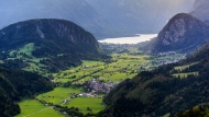
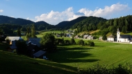
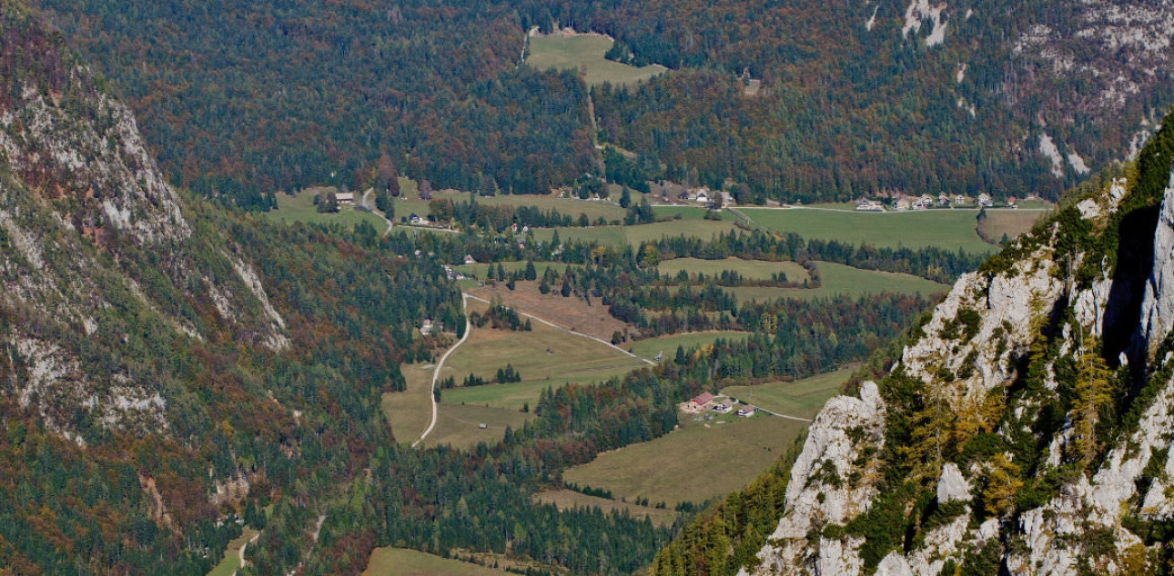
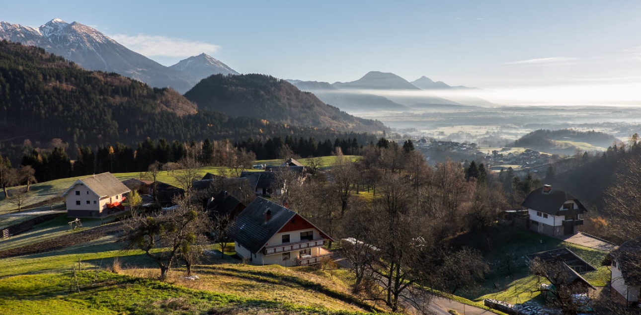
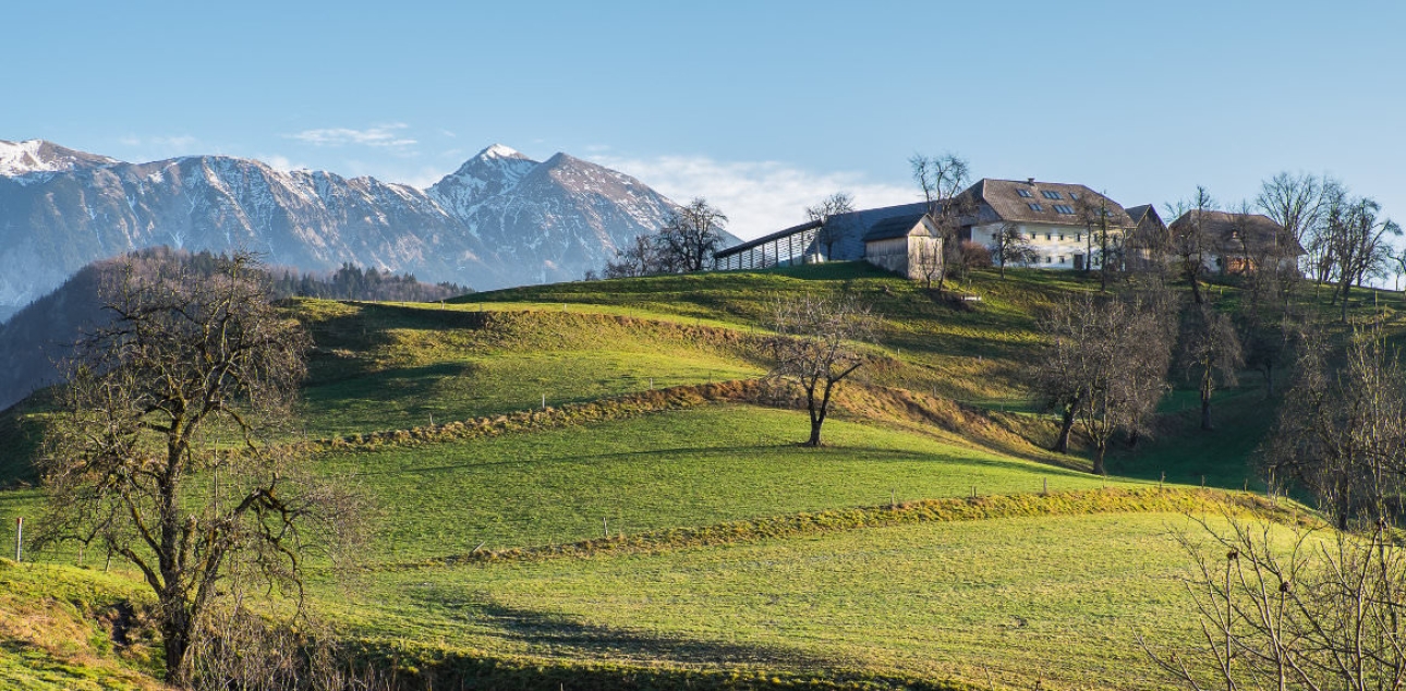
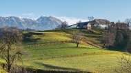
The current settlement pattern was established between the 13th and 15th centuries with colonisation of more elevated areas and in the 16th century with high-altitude colonisation (colonisation of forested areas with clearings or pastures).
The earliest signs of permanent settlement in the park date back to the Iron Age, i.e. the Halstatt period (800 BC). The population density rose with the arrival of the Romans and, even more so, the Slavs. The current settlement pattern was established between the 13th and 15th centuries with colonisation of more elevated areas and in the 16th century with high-altitude colonisation (colonisation of forested areas with clearings or pastures).
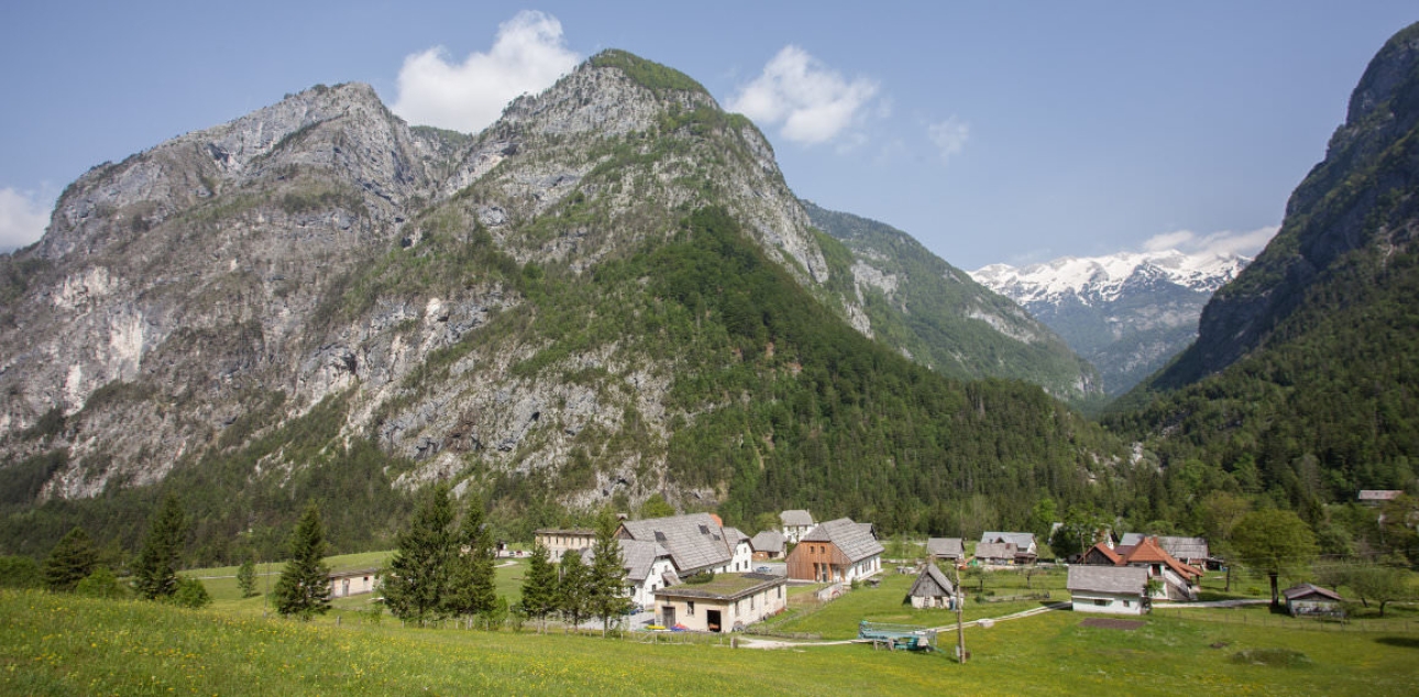
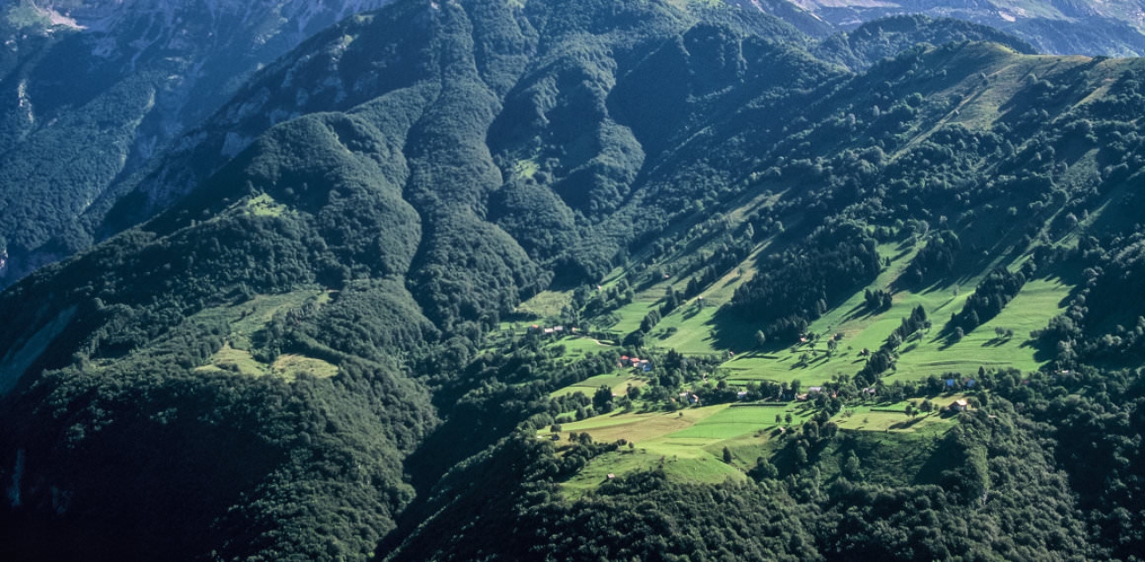
Cluster villages and roadside settlements developed in the flat parts of alpine glacier valleys, along rivers and transport routes whereas elevated terraced flats and gentle sunny slopes were more suited for dispersed settlement types with a low number of isolated farms. Settlements consisting of isolated farms, or celki, were common in remote parts of valleys and in higher-lying areas away from transport routes.
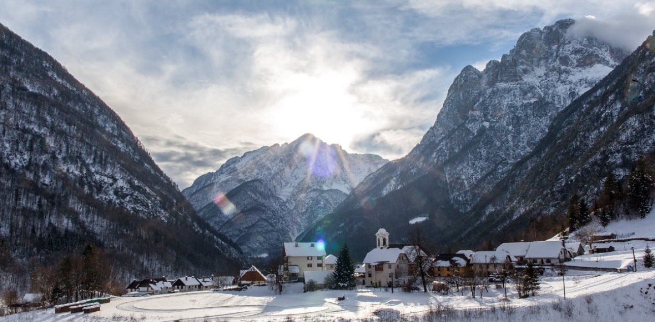
The Primorska side of the park is characterised by the dispersed settlement pattern – scattered hamlets (isolated farms or groups of one or two homesteads) are common in Trenta, Soča, Vrsnik, Lepena and Bavšica. The only deviations from this pattern are clustered villages with village centres (Na Logu v Trenti and Soča) and the Mediterranean settlement pattern which comprises groups of homestead units or several homesteads along a transport route (Strmec, Gornji Log pod Mangartom, Spodnji Log pod Mangrtom).
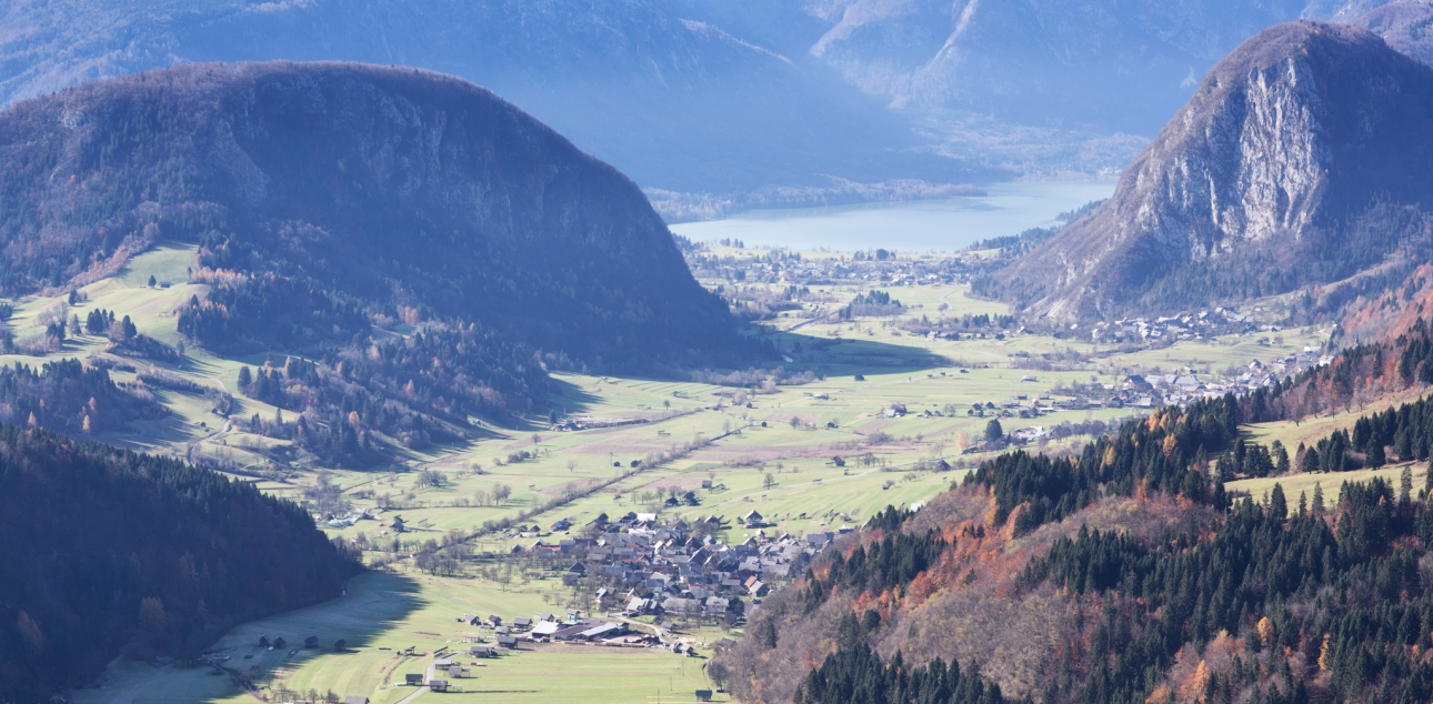
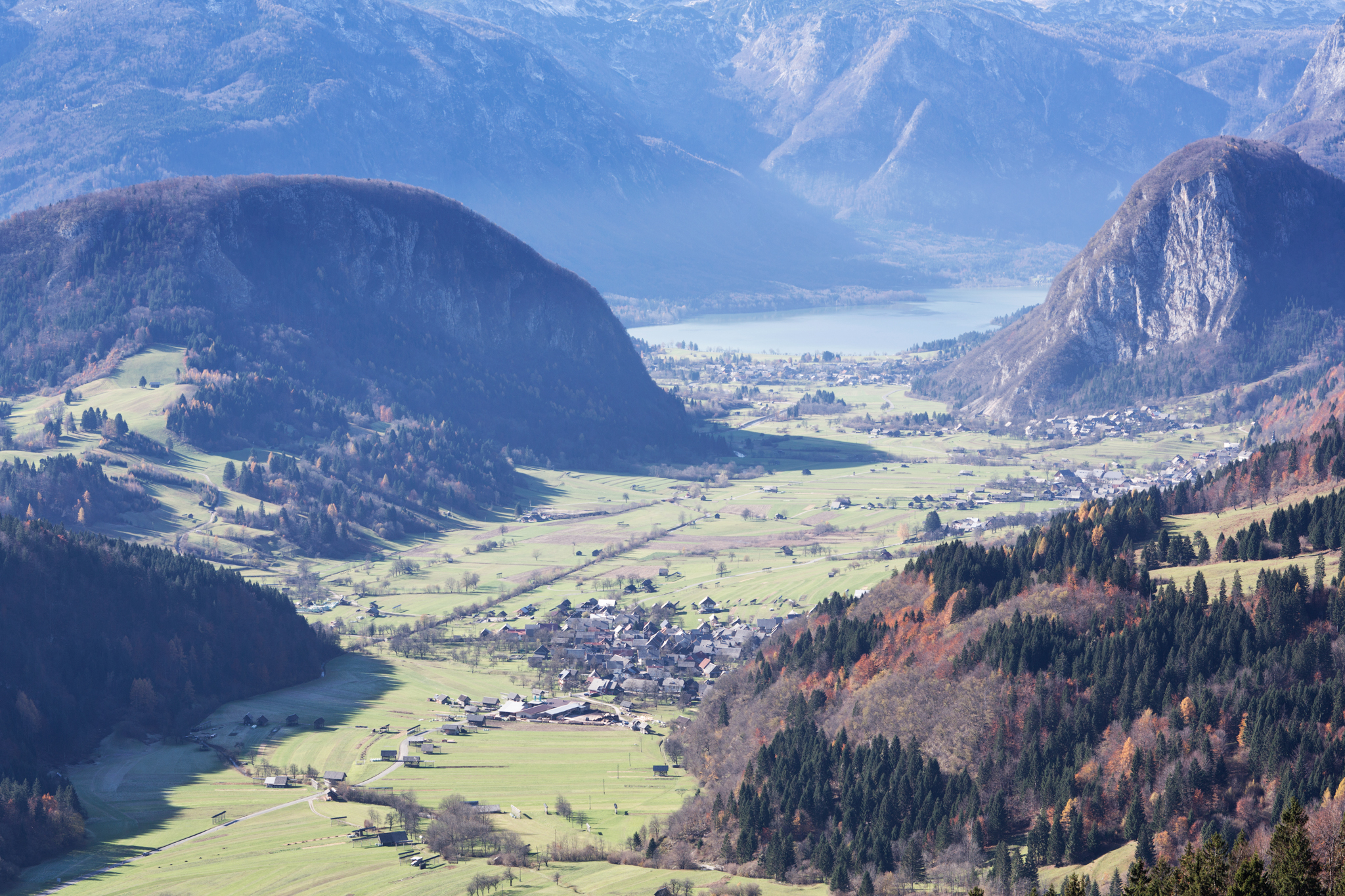
In the Bohinj area clustered hamlets and villages line elevated areas at the foot of mountains in the vicinity of water sources. The Upper Bohinj Valley features two older settlements: Stara Fužina and Studor, as well as several younger settlements, e.g. above the alps Podjelje, Koprivnik, Gorjuše and Goreljek, which have developed from former herdsmen's dwellings on hay pastures, and Ribčev Laz in the lower part of the Bohinj valley.
These settlements have no village core, and churches as the dominant features are built on the edge of the settlement.
In the Upper Sava Valley part of the park, villages are found on the valley floor (Zgornja Radovna, Poljane) and on gentle sunny slopes and intermittent terraces of the Mežakla plateau (Zgornje Laze, Spodnje Laze and Perniki); apart from that, the area is characterised by scattered farms.
Number of inhabitants
A total of 21 settlements (85% of all park inhabitants) were fully located in the central area of the park, and the remaining 12 settlements fell within the park’s borders with only a part of their surface area.
The largest settlement fully located within the borders of the Triglav National Park was Stara Fužina with 576 inhabitants. The smallest permanent settlements in the park at the time of the census were Strmec on the Predel pass and Radovna, each with only 10 inhabitants.
According to the 2010 census, the Triglav National Park incorporates 33 settlements with a total population of 2,444 people.
Thank you.

