You can reach this point by public transport. Your station is Stara Fužina or Stara Fužina - Vorenčkojca.
Find out more about sustainable mobility in the park and beyond.
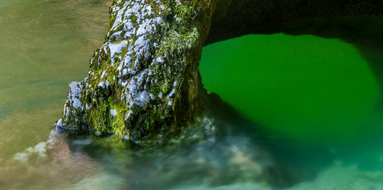
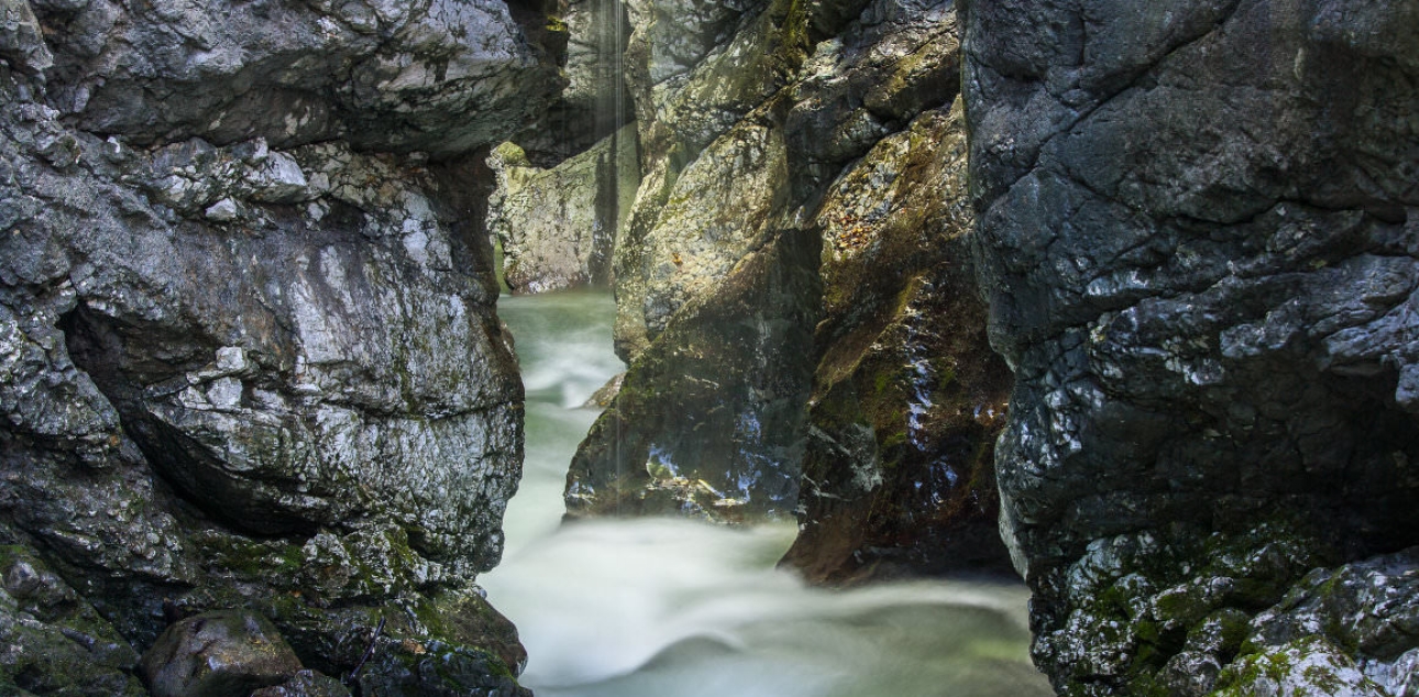
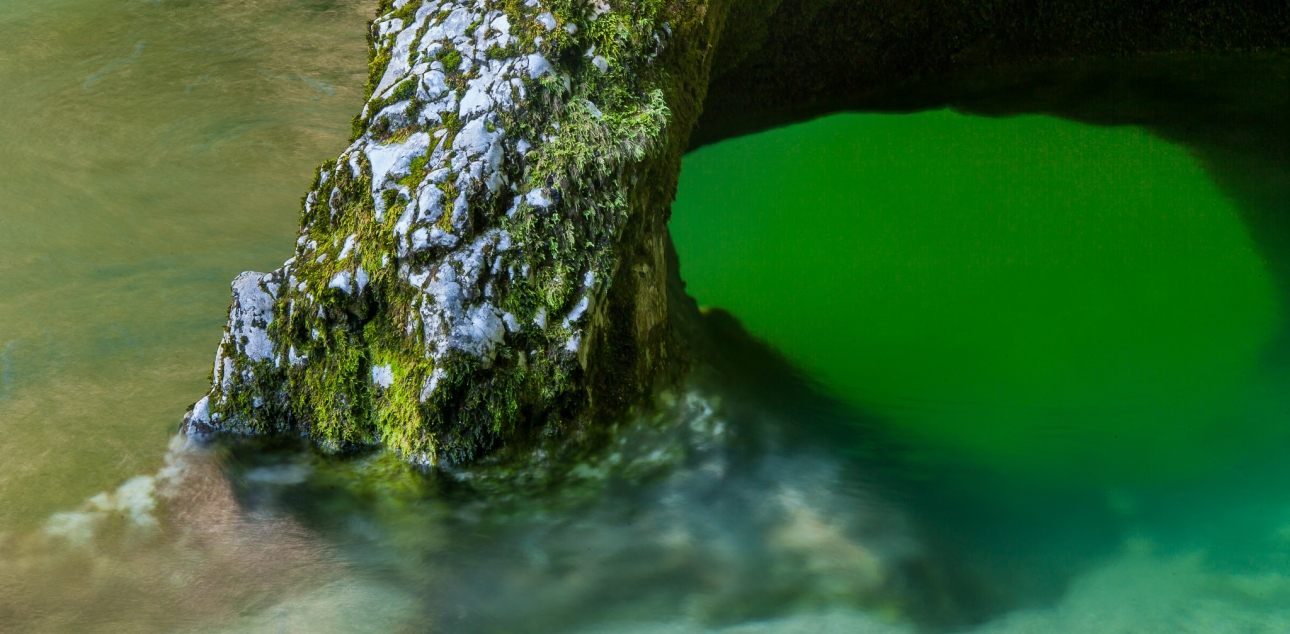
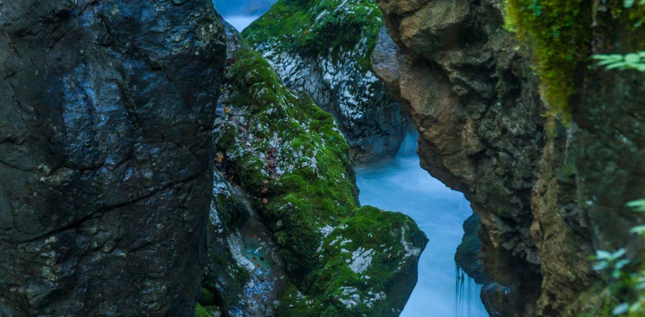
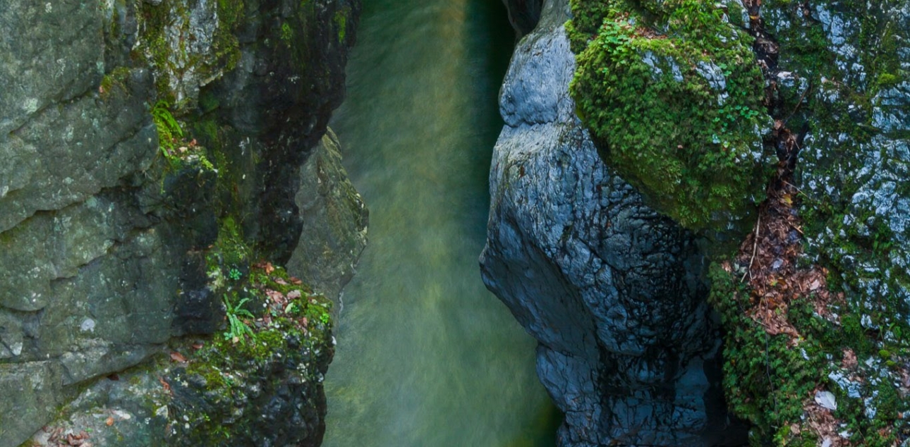
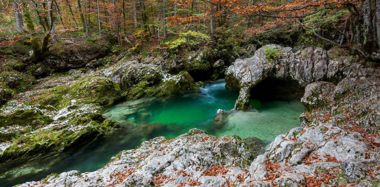
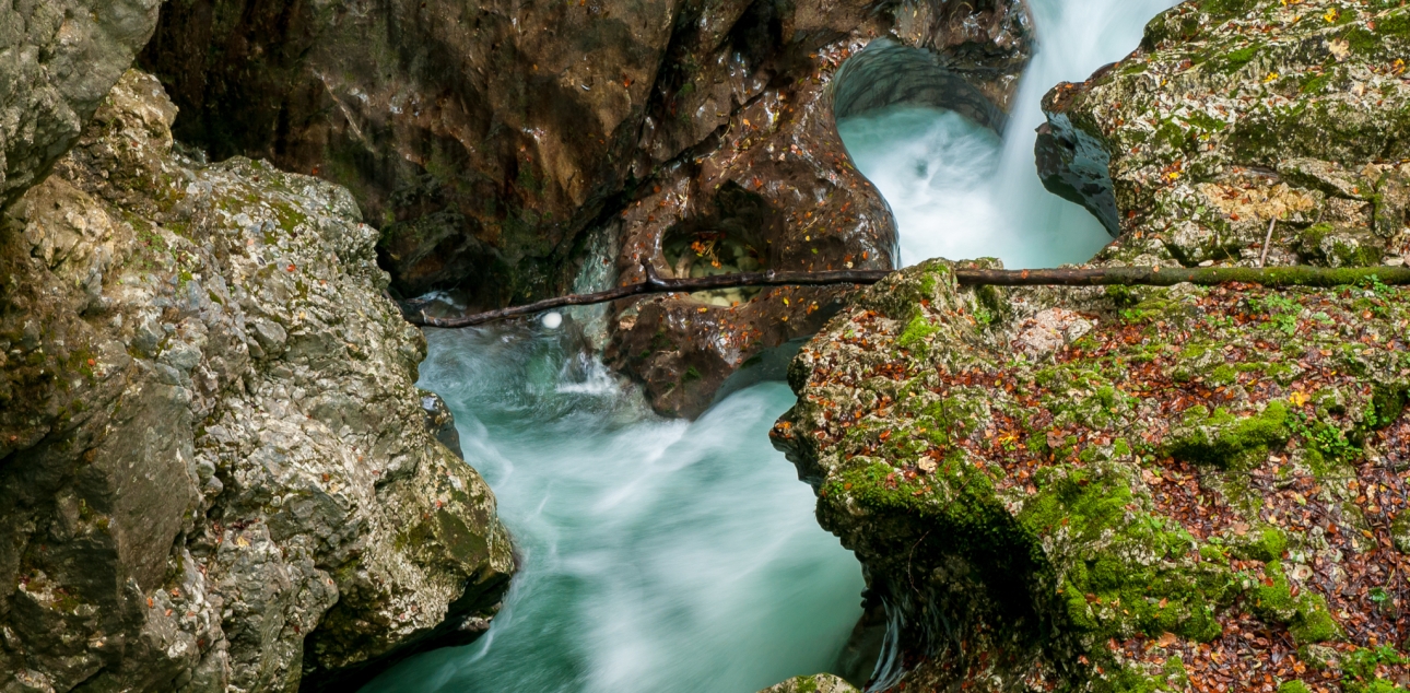
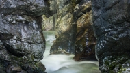
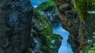
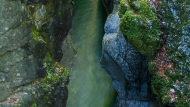
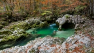
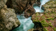
The Mostnice Gorge, which is about 2 km long, was formed partly by tectonic carving of the central valley and partly by glacial deepening caused by erosion or deepening of the Bohinj glacier. The side valley of the Mostnica has thus remained higher or has 'hung down'. The Mostnica had to overcome the difference in altitude by carving a narrow gorge with widened parts in between into the fossil bedrock of light limestone. The troughs are in some places up to 20 metres deep and only a shoulder width wide. The Mostnica deepened most rapidly during the glacial melt (15 000 to 10 000 years ago), when the volume and power of the water was at its greatest and it was able to cut into the bedrock, together with the material that the water carried with it.
Senožetna planina Voje is a widespread central part of the Mostnica valley with an altitude of just over 700 metres. The surface is covered by a glacial moraine, and Voje is closed in the south by a frontal moraine embankment. The mountain is rich in water, as the Mostnica has several tributaries and in some places water comes from the ground. The Voje valley is a typical U-shaped glacial valley.
On the way from Stara Fužina to the Mostnica waterfall, the Mostnica is spanned by four bridges and a footbridge, which is why the ancestors named the watercourse Mostnica after them. The most famous is the Devil's Bridge, which legend has it was built by the devil himself.
Guided tours:
- by prior arrangement
Tourism Bohinj:
- Phone.: 04 5747 590,
- Email info@bohinj.si
TNP Bohinj Centre:
- Phone: 04 5780 245,
- Email: info.bohinjka@tnp.si
Additional information
Difficulty of the route:
- a technically easy route with minimal steady gradient
Points of interest along the way:
- Devil's Bridge, Mostnica Gorge, stone sculpture of an elephant, Voje hay mountain, Mostnica waterfall
Suitable time of year:
- kopna sezona
Payability of the visit:
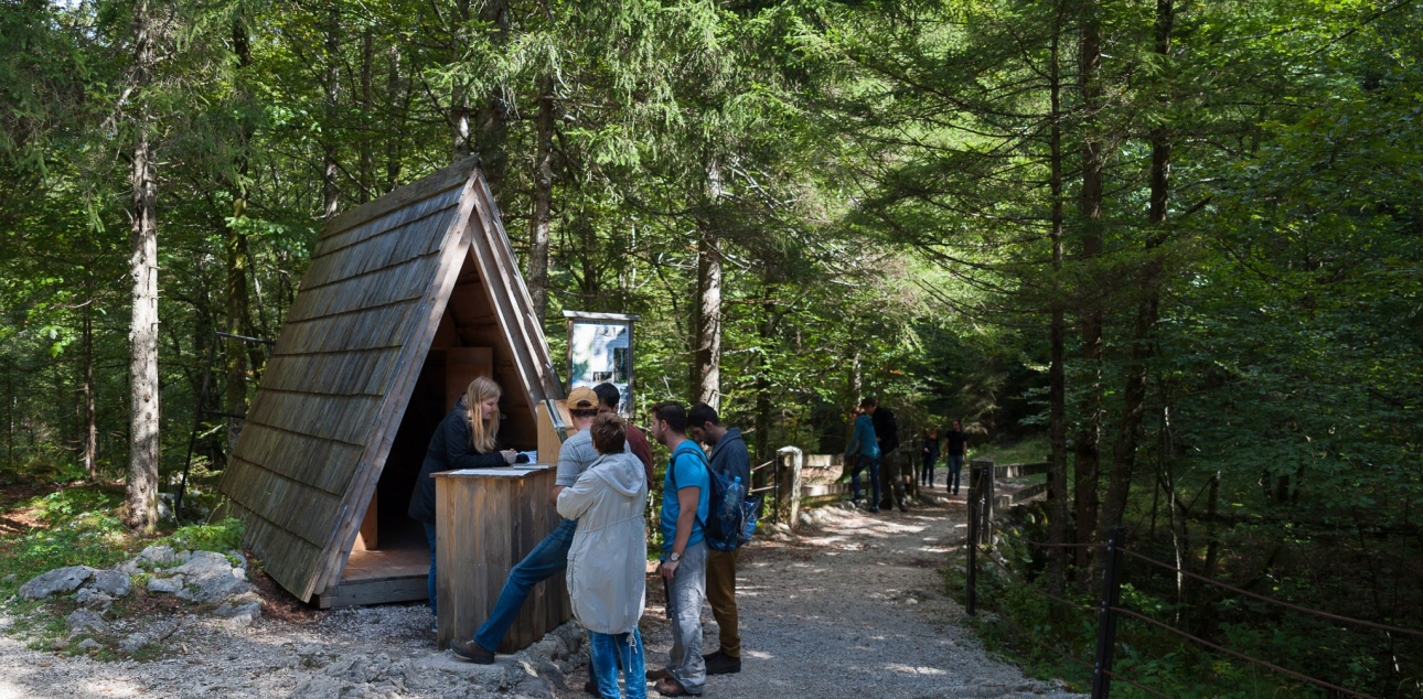
- payment of a fee for the use of the path along the Mostnica riverbed
- Free for Julian Alps card holders: Bohinj
Guest houses and mountain huts:
- Mountain hut at Voje, Slap cafeteria (open in high season)
Recommendations:
- suitable hiking footwear
- The Voja Valley can also be visited by bicycle, but it is not possible or allowed to visit the Mostnica Gorge by bicycle.
Route manager:
- Turizem Bohinj
Current conditions
Official weather forecast
Frequently asked questions
Thank you.

