Peričnik Waterfall

Peričnik Waterfall

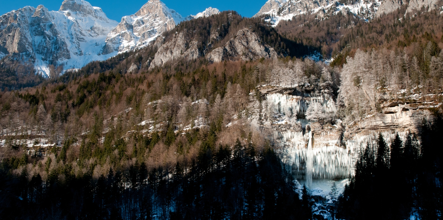
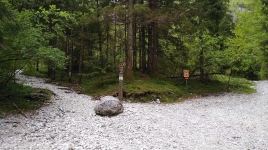
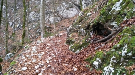
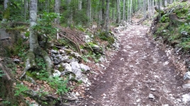
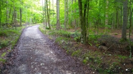
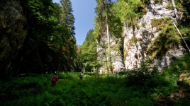
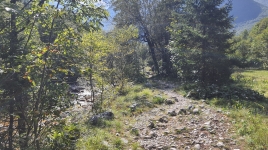
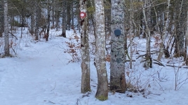
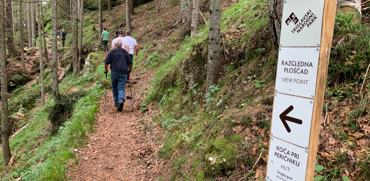
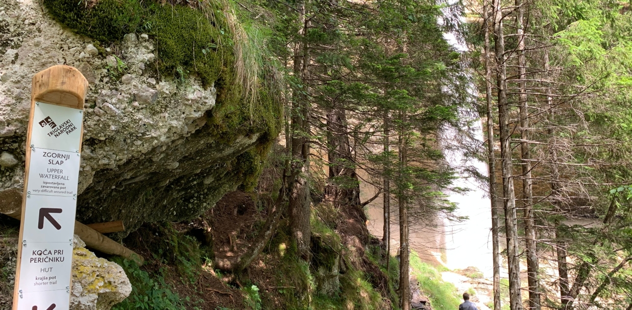
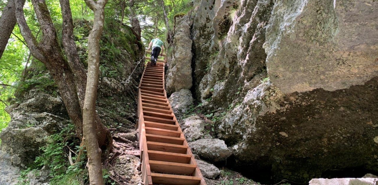
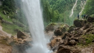
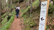
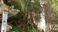
The Peričnik Waterfall circular hiking trail starts at the Koča pri Peričniku, goes to the Upper Peričnik Waterfall, bypasses the Lower Peričnik Waterfall and returns to the starting point. The starting point is located on the Triglavska Bistrica Trail.

Triglavska Bistrica Trail leaflet
You can visit the Peričnik waterfall as part of the Triglav Bistrica Trail. It is a 4 km walk from the trailhead (Slovenian Alpine Museum) to the Koča pri Peričniku. The trail continues from Peričnik, past the Aljažev dom in Vrata valley to the north face of Triglav (11 km one way).

You can reach this point by public transport. Find out more about sustainable mobility in the park and beyond.

Data from visitor counters in the park

Park counters (24)

Total visits: 51756
Daily average visits: 1725
Bohinj – Ukanc, Bohinjsko jezero
Yesterday 0
Total 51
Daily 2
Last 30 days
Dolina Tamar
Dolina Tamar
Yesterday 1699
Total 31596
Daily 1,053
Last 30 days
Slap Peričnik
Slap Peričnik
Yesterday 0
Total 0
Daily 0
Last 30 days
Lepena - Krnsko jezero
Yesterday 0
Total 0
Daily 0
Last 30 days
Bohinj - Komna
Bohinj - Komna
Yesterday 340
Total 4310
Daily 144
Last 30 days
Planina Blato
Planina Blato
Yesterday 0
Total 0
Daily 0
Last 30 days
Mangrtsko sedlo - na poti
Yesterday 0
Total 0
Daily 0
Last 30 days
Dolina Vrata - Pot Triglavske Bistrice
Yesterday 90
Total 1596
Daily 53
Last 30 days
Planina Kuhinja
Planina Kuhinja
Yesterday 0
Total 5417
Daily 181
Last 30 days
Dolina Krnica - Pod Kriško steno
Yesterday 0
Total 0
Daily 0
Last 30 days
Trenta - Soška pot
Trenta - Soška pot
Yesterday 0
Total 0
Daily 0
Last 30 days
Dolina Tamar - proti Jalovcu
Yesterday 37
Total 755
Daily 25
Last 30 days
Dolina Vrata - Kriški podi - Luknja
Yesterday 0
Total 0
Daily 0
Last 30 days
Dolina Krma - Kredarica
Yesterday 0
Total 0
Daily 0
Last 30 days
Dolina Krnica
Dolina Krnica
Yesterday 0
Total 6239
Daily 208
Last 30 days
Planina Lipanca
Planina Lipanca
Yesterday 0
Total 0
Daily 0
Last 30 days
Trenta - Mala korita Soče
Yesterday 0
Total 20
Daily 1
Last 30 days
Pokljuška soteska
Pokljuška soteska
Yesterday 0
Total 0
Daily 0
Last 30 days
Trenta - Izvir Soče
Trenta - Izvir Soče
Yesterday 0
Total 0
Daily 0
Last 30 days
Soška pot- Korita Mlinarice
Yesterday 0
Total 0
Daily 0
Last 30 days
Rudno Polje - pl. Jezerce
Yesterday 0
Total 0
Daily 0
Last 30 days
Martuljški slapovi
Martuljški slapovi
Yesterday 0
Total 0
Daily 0
Last 30 days
Učna pot Mangrt koča
Yesterday 0
Total 0
Daily 0
Last 30 days
Pokljuka - Viševnik
Pokljuka - Viševnik
Yesterday 323
Total 1772
Daily 59
Last 30 days
Summer location / automatic station
Winter location / automatic station
Year-round location / automatic station

The trail starts and ends at the Koča pri Peričniku, but if you want to extend the trail, you can start in Mojstrana (Slovenian Alpine Museum) and follow the Triglavska Bistrica Trail, which also leads to the Koča pri Peričniku.

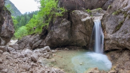
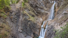
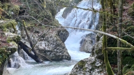
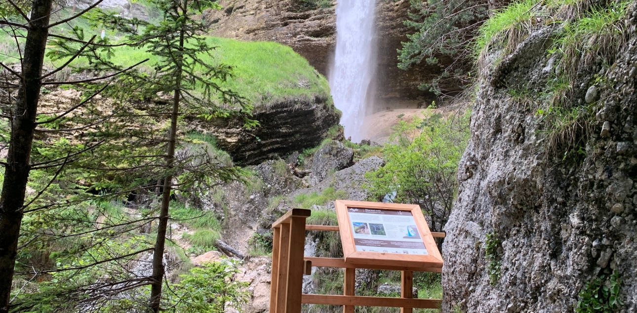
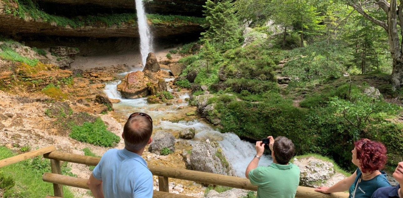
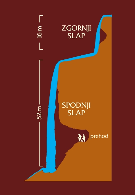
Peričnik is the name of the waterfall and the stream that flows into the Triglavska Bistrica stream near the Koča pri Peričniku. The formation of the waterfall is linked to the glacial transformation of the Vrata valley. The valley through which the Peričnik flows is a so-called hanging valley above the deeper, larger Vrata valley. Water erosion has created two waterfalls - the Upper and Lower Peričnik. The upper part of the Lower Peričnik consists of conglomerate, while the lower part is dominated by crumbly breccia, which has also formed potholes, allowing a path to be made around the waterfall.


The path behind the waterfall

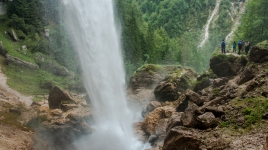
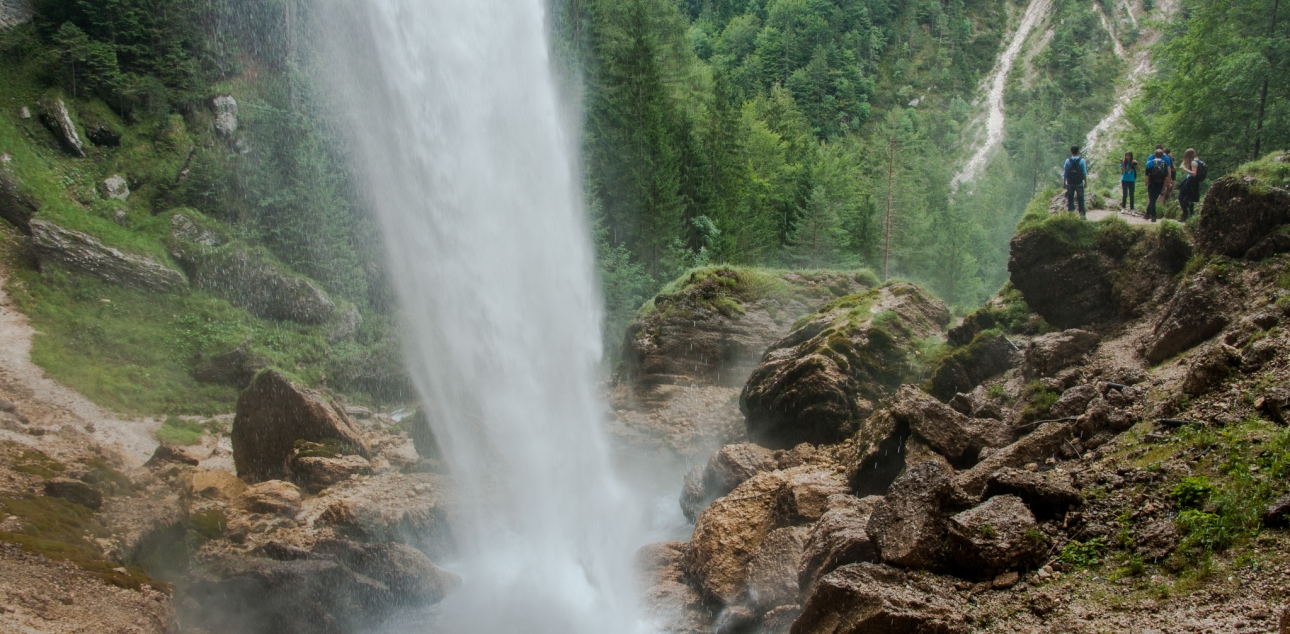
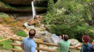
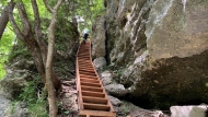
The Peričnik waterfall is destroying itself, as the power of the water undermines the conglomerate sill, which is crumbling and crumbling. The power and magnitude of the water erosion can be experienced up close, because with the right footwear and care, the waterfall can be approached from behind. 
“wise nature … bestows … upon the Gorenjska region healthy, clean air and springs that bubble forth from the rocks in their crystal-clear beauty, their coldness stronger than snow; yes, some of them are so cold that one can hardly keep his hand in the water.”

Janez Vajkard Valvasor (1689)

Current conditions

Official weather forecast

Frequently asked questions

Awesome power of water

Waterfalls help us understand the processes that are continually reshaping the Earth’s surface. The vertical water drops make their eroding power particularly impressive. As a retreating waterfall, the Peričnik gradually eroded the soft rock at the base, gradually undercutting the more resistant conglomerate overhang until it collapsed under its weight, shattering into large conglomerate blocks that now lie at the waterfall base
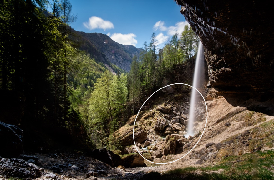
Collapsed conglomerate blocks

In the past, the waterfall moved several times as the river feeding it changed its course. Fossil notches in the conglomerate cliff are reminders of the waterfall’s past.
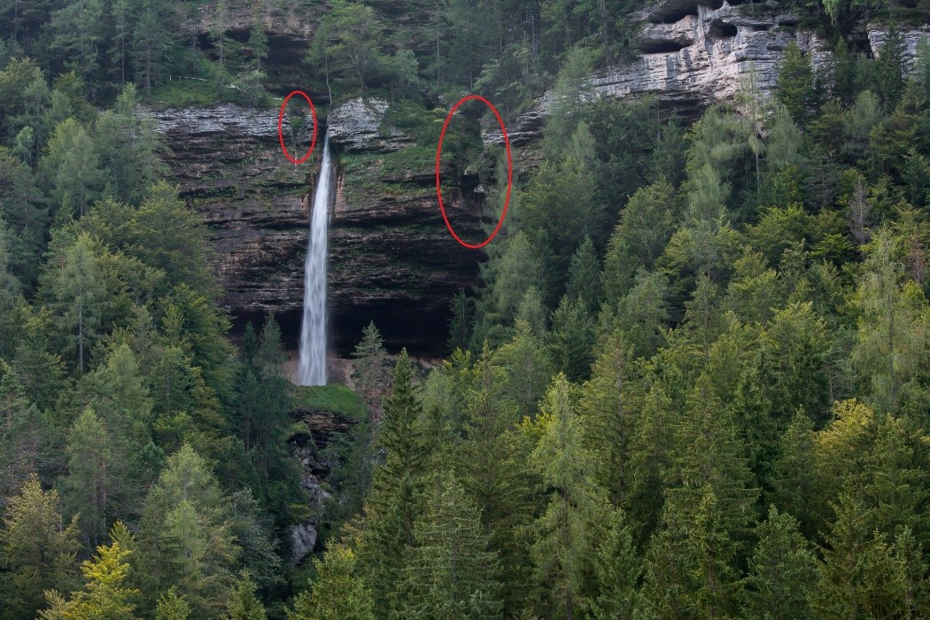
Fossil notches in the conglomerate cliff

Visit Triglav National Park by public transport

Code of Conduct

Frequently Asked Questions